Описание книги
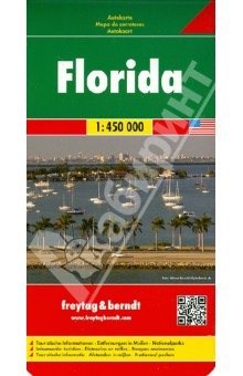
Large, double-sided, indexed general map of the state with an uncluttered appearance. The state is divided into north and south sections, with a generous overlap, and the panhandle region is shown in an inset. The clear road detail shows some secondary roads, with intermediate driving distances marked on selected main routes. Railways and some major ferries are marked and symbols show airports, airfields and harbours. County boundaries and names are clearly marked, and national and state parks, reserves, protected areas, marine sanctuaries, Indian reservations and restricted zones are shown. Further symbols indicate tourism features and landmarks such as rest areas, beaches, archaeological sites, battlefields, campsites, lighthouses, zoos, golf courses and selected attractions and places of interest.
