Описание книги
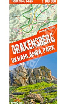
This is a unique, handy-in-use trekking map of the Drakensberg in the UKhahlamba Park on the South Africa-Lesotho border. The map stands out for its accurate, detailed topographical and tourism-oriented content. It has been designed especially for enthusiasts of active leisure pursuits who are planning to set off on a trek in the Drakensberg.
Produced with the use of the Comfort! Map technology developed by ExpressMap (P), the map is laminated all over, which makes it last longer and ensures that it is exceptionally easy to handle even in the harshest mountain weather.
the map covers the whole of the UKhahlamba Park - the highest and the most dramatic area of the Drakensberg
rich tourism content (including trekking routes, tourist infrastructure, natural attractions and other sights of tourist interest)
shaded relief, representing the area's three-dimensional topography
GPS compatibility (WGS84 geographic coordinates)
Produced with the use of the Comfort! Map technology developed by ExpressMap (P), the map is laminated all over, which makes it last longer and ensures that it is exceptionally easy to handle even in the harshest mountain weather.
Map legend in six languages: English, German, French, Spanish, Italian and Polish.
