Описание книги
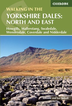
A guidebook to 43 circular day walks covering the northern and eastern Yorkshire Dales. The walks range between 3 and 11.5 miles in length, and there are suggestions for devising longer days by combing routes. Step by step route directions include lots of information about the area, and each walk is illustrated with clear OS mapping and vibrant photographs.
From Pateley Bridge and Aysgarth in the East to Kirkby Stephen and Richmond in the north, each valley has a character and history of its own and this guide covers the varied fell and dale landscapes of the Howgills, Mallerstang, Swaledale, Wensleydale, Coverdale and Nidderdale. The north and eastern regions of the Yorkshire Dales are full of wild, rugged fell tops carved by limestone crags, deep scooped-out dales with lonely farms far from villages, the ruins of medieval castles as well as the warm bustle of Dales villages and good pubs. The Howgills north of Sedbergh have a different look, with their wide domes, steep sides and long miles of grassy ridges.
From Pateley Bridge and Aysgarth in the East to Kirkby Stephen and Richmond in the north, each valley has a character and history of its own and this guide covers the varied fell and dale landscapes of the Howgills, Mallerstang, Swaledale, Wensleydale, Coverdale and Nidderdale. The north and eastern regions of the Yorkshire Dales are full of wild, rugged fell tops carved by limestone crags, deep scooped-out dales with lonely farms far from villages, the ruins of medieval castles as well as the warm bustle of Dales villages and good pubs. The Howgills north of Sedbergh have a different look, with their wide domes, steep sides and long miles of grassy ridges.
