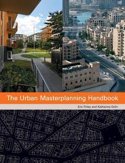
Описание книги
A highly illustrated reference tool, this handbook provides comparative visual analysis of major urban extensions and masterplans around the world. It places an important new emphasis on the processes and structures that influence urban form, highlighting the significant impact that public or private landownership, management and funding might have on shaping a particular project. Each of the book’s 20 subjects is rigorously analysed through original diagrams, scale drawings and descriptive texts, which are complemented by key statistics and colour photography. The case studies are presented in order of size rather than date or geographical location. This offers design professionals, developers and city planners, as well as students of architecture and urban design informed organisational and formal comparisons, leading to intriguing insights. A wide geographical range of contemporary and historic masterplans are featured. These encompass European projects from the 19th century to the present day: Belgravia in London, Sarphatipark in Amsterdam, Potsdamer Platz in Berlin, La Défense Seine Arche in Paris and Hammarby Sjöstad in Stockholm. In North America, the postwar development of Stuyvesant Town in Manhattan is also the subject of a case study. More recent and ongoing international urban schemes are included, such as Puerto Madero in Buenos Aires, Downtown Dubai and the New Central Business District in Beijing.
