Описание книги
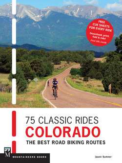
• Includes rides ranging from easy to epic<br> • Features rides within easy distance from population centers, plus 2 multiple-day trips and 1 cross-state tour<br> • Free, downloadable turn-by-turn cue sheets for each ride<br><br>
Jason Sumner was on his way to becoming a pro sports reporter when he happened to cover a bike race. It changed his life. He writes, “Becoming a cyclist meant exploring my home state in ways I never had before. Fifteen years and thousands of miles later, I get to share what I discovered with you.”<br><br>
This guide is intended for cyclists from novice to expert. It’s accessible, friendly, and fun, highlighting less-driven back roads, scenic views, epic mountain-pass challenges, and ambling routes. Each ride includes the following information:<br><br>
• Difficulty level<br> • Distance <br> • Average Time to complete<br> • Elevation Gain<br> • High Point <br> • Best Season to ride<br> • Maps/Info on land managers for reference<br> • Directions to start of route <br> • Description of ride: nature of the ride, sights along the way, best places for food/refueling, and more<br> • Variations/Alternate Route details <br> • Full map of route<br> • Elevation profile<br> • Photo
