Читать книгу Cape Breton Highlands National Park--where the mountains meet the sea - David M. Baird - Страница 3
How to Use This Book
ОглавлениеRead it from the beginning. If you haven’t the time immediately, then look at the illustrations and turn to the map at the back to find the numbers of the stops along the route you are travelling. Now turn to the roadlogs and follow each stop carefully, for you will find that the beauty of the scene is increased for the traveller who knows something of what he is looking at and how it originated.
The first part of this guidebook outlines in some detail the general geological history of the Cape Breton Highlands National Park area. This is done by describing all the rock units in the sequence of their origin. From these descriptions is drawn something of the succession of events responsible for the rocks and the scenery there today. The second part of the book is a series of notes on what is to be seen at each of the viewpoints and roadside stops along the highway. An index map at the back shows where these points are located.
Many of the words used in a technical sense or which have an unusual meaning are explained where they are first used. If you need to find the meaning of a word look in the index—all unusual ones are listed there, along with localities and subjects.
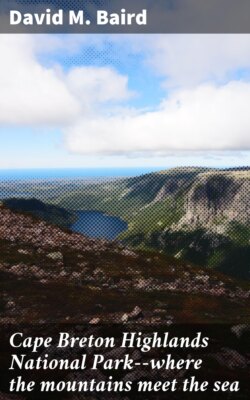
Cover photo—From a lookout near Keltic Lodge, Ingonish beach gleams white between the dark waters of South Bay and the wooded hills beyond. Pink granite with masses of dark basic rock form the rocky shore in the foreground. The houses of Ingonish Beach speckle the hillside.
CAPE BRETON ISLAND protrudes into the Atlantic Ocean near the northeastern corner of North America and forms part of the eastern boundary of the Gulf of St. Lawrence. Its surface consists of parts of a high upland with, in some places, fringes of a much lower coastal plain. It meets the ocean in cliffs as much as 1,500 feet high and, here and there, in shallowly submerged landscapes which present long curving beaches. Streams have cut deeply into the plateau areas in comparatively recent geological times, so that steep-walled valleys with rounded shoulders are characteristic. Rock exposures in stream valleys and along shores show that the surface of the land is underlain by a complex of ancient rocks, both sedimentary (rocks formed by the accumulation of sediment) and igneous (rocks which have solidified from a molten state), with small patches of younger rocks in some of the lowland places. Some 377 square miles of this lovely land has been set aside as Cape Breton Highlands National Park—a place for us to enjoy the mountains and the sea.
