Читать книгу Iceland Within the Northern Atlantic, Volume 1 - Группа авторов - Страница 15
1.1. Geographic and geodynamic context
ОглавлениеThe surface of Iceland appears as a vast plateau of about 600 m altitude (Figure 1.3, in orange), overlain by four large volcanic systems covered by four wide ice caps. Another surface, called strandflat, surrounds the island at about the level of the present coast and extends into the sea down to about −50 m; it is underlined by large swarms of small islands. Finally, a lowered submarine plateau surrounds the island to a depth of 300 m (Figure 1.3). The fact that it is cut by Neogene glacial scouring attests to its age (section 3.2 of Volume 2).
Figure 1.3. Current morphology of Iceland. (a) A volcanic island shaped and occupied by glaciers and whose submarine plateau was indented by Neogene glaciations (GEBCO 2019 data). (b) Ice-free topography (modified from the “Digital Elevation Model” published by Bjorsson, 2017)
The oceanic domains are fundamentally segmented: the basins are separated from each other by transform faults, such as the Ungava Fault in the Davis Strait between the Labrador Sea and Baffin Bay, or those of Charlie–Gibbs and Jan Mayen in the Northeast Atlantic, or by ridges transverse to the oceanic opening axes, such as the Greenland–Iceland–Faroe Islands Ridge. The entire region, including the Labrador-Baffin axis, Greenland and the Northeast Atlantic Ocean in the strict sense is referred to as the North Atlantic domain.
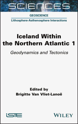
Figure 1.4. The northern part of the Mid-Atlantic Ridge, modified from (Müller et al. 2008)
COMMENT ON FIGURE 1.4.– The colors represent the age of the ocean floor, with redorange corresponding to the period 20–0 million years ago. The opening of the North Atlantic began about 60 million years ago. CGFZ: Charlie–Gibbs Fracture Zone; JMFZ: Jan Mayen Fracture Zone; MAR: Mid-Atlantic Ridge.
Iceland is generally presented as arising from the interaction between a thermal anomaly in the upper mantle, interpreted as a hot spot at the top of a plume, and a major axis of oceanic expansion, the Mid-Atlantic Ridge (MAR ) (Figure 1.4).
The physical, chemical and dynamic characteristics of the Icelandic crust and lithosphere, and more generally of the Northeast Atlantic domain within which it is located, do not fit easily into simple models of continental break-up and accretion of the oceanic lithosphere. Understanding the origin of Iceland requires going back to the history of continental fragmentation between the North American and Eurasian plates in the Meso-Cenozoic (from 250 My). This history was characterized by the temporary individualization of a tectonic plate, Greenland, within a domain deeply marked by the heritage of the Caledonian collision (440–410 My).