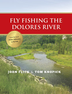
Читать книгу Fly Fishing the Dolores River - John Flick - Страница 3
ОглавлениеDolores River (Southwest Colorado)
Location: Southwest Colorado, about 1½ hours west and a little north of Durango; 7 hours from Phoenix or Denver; about 5 hours from Albuquerque, New Mexico; and 2½ hours from the San Juan River tailwater. Flight service is available to Durango, Farmington, and Albuquerque.
The Dolores River tailwater was born when cold water was first released from McPhee Dam in 1983 and the Colorado Division of Wildlife stocked 10,000 fingerlings each of rainbow, brown, and Snake River cutthroat trout. The first 12 miles from the dam down to Bradfield Bridge are restricted to catch-and-release, flies and lures only.
There is easy access to the 12 miles of special-regulations water, with Forest Service Road 504 paralleling the river from Bradfield Bridge upstream to the dam. The river flows through a beautiful, wide valley with steep, Jurassic-age Entrata sandstone walls, which have entombed the ancient sand dunes from a massive desert. The elevation is moderate at 6,500 feet, and the sides of the canyon are covered with juniper and piñon woodlands, but also support Ponderosa pine and Douglas fir. The river valley is lined with large cottonwoods.
The lands adjacent to the Dolores from McPhee Dam down to Bradfield Bridge are managed by both the San Juan National Forest and Colorado Parks and Wildlife, giving public access. There is one small piece of private property about 5 miles up from the bridge, but if you follow the signs you can still access the river. There is overnight camping at the Bradfield Recreation Site just downstream from the Bradfield Bridge, and at Ferris Canyon Campground on San Juan National Forest about 8 miles up from the bridge.
