Читать книгу Colonial Fantasies, Imperial Realities - Lenny A. Ureña Valerio - Страница 9
На сайте Литреса книга снята с продажи.
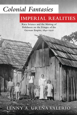
ОглавлениеIllustrations
Map I.1. The Partitions of Poland, 1772–1795
Figure 3.1. Map of East Central Africa showing German and British areas of colonial interest before the Zanzibar-Heligoland Treaty of July 1890
Figure 3.2. A sketch map of the first concentration camp created under Koch on the island of Bugalla, Uganda (1906)
Figure 3.3. A sketch of a control station in West Prussia (Ottlotschin) with a lazaret, an observation station, and disinfection facilities
Figure 4.1. Exploration routes taken by Stefan Szolc-Rogoziński and Klemens Tomczek in the Cameroon lands in 1883
Figure 4.2. “Specimens from the Expedition of S. S. Rogoziński to South West Africa,” part I
Figure 4.3. “Specimens from the Expedition of S. S. Rogoziński to South West Africa,” part II
Figure 4.4. Jakubski being carried by some members of his caravan on the day he became ill with relapsing typhus
Figure 4.5. “The strength of Poland lies in the colonies.” A parade in support of overseas colonial expansion led by the Liga Morska i Kolonialna in Poznań (Posen), 1938