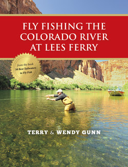
Читать книгу Fly Fishing the Colorado River at Lees Ferry - Terry Gunn - Страница 3
На сайте Литреса книга снята с продажи.
ОглавлениеLees Ferry (Colorado River, Northern Arizona)
Location: Northern Arizona, about a 4-hour drive from Las Vegas, Phoenix, or the San Juan River; about 6 hours from Salt Lake City; and 2 hours from Flagstaff. There is commuter flight service to nearby Page, Arizona.
The 16-mile stretch of the Colorado River that flows from Glen Canyon Dam to Lees Ferry-Grand Canyon National Park is known as Lees Ferry. This tailwater is a year-round rainbow trout fishery that originated in 1963 with the completion of Lake Powell. The river slices through the Paria Plateau, and is bordered by towering vertical sandstone cliffs more than 1,000 feet tall. The river twists and turns through a magnificent landscape, which is the last vestige of Glen Canyon, the rest of which was submerged by Lake Powell. The crystal-clear water is a constant 50 degrees
throughout the year and supports what is likely the largest wild trout population (last stocked in the 1990s) of any Western river; trout here are counted by the thousands per mile.
Like many tailwaters, Lees Ferry previously supported warmwater fish that can no longer endure the cold water. In the early 1960s, trout as well as algae, aquatic insects, crayfish, and scuds were stocked below the dam. Few insects survived. However, today the aquatic food base consists of scuds, worms, and myriad species of midges. The lack of a more varied food base is likely related to the water temperature, which remains constant through most of the year, and the large volume of crystal-clear water that warms very slowly (1 degree Fahrenheit for every 25 miles) as it travels downstream.
Indeed, the Colorado River at Lees Ferry is “big water” by any standard. The headwaters of the Colorado are at the highest elevations of the Rocky Mountains. The drainage area of the Colorado River encompasses the entire western slope of the Rockies from Wyoming to New Mexico. Above Lake Powell, the Colorado is joined by the San Juan and Green Rivers, and every tributary that feeds these drainages.
These rivers are more dependent on snowpack than on precipitation and, as a result, each year can bring different runoff and flow scenarios.
