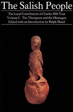
Читать книгу The Salish People: Volume I - Charles Hill-Tout - Страница 5
На сайте Литреса книга снята с продажи.
ОглавлениеIllustrations
Map of the Salish and their Neighbours
Cartography by the Audio-Visual Centre of
Simon Fraser University.
Hill-Tout’s Family at Abbotsford Photograph, circa 1897. Courtesy of James E. Hill-Tout.
Figs. 1-3 in “Notes on the Thompson" From the original printing of the report.
Sweat-house in Nicola Valley Photograph by C. F. Newcombe, 1903. Courtesy of the B.C. Provincial Museum, Victoria, B.C.; with thanks to Alan Hoover and the staff of the Ethnology Division.
Fish-drying Sheds Three Mile Canyon, above Yale. Courtesy of the B.C. Provincial Museum.
Lytton Burial-ground Vancouver Centennial Museum photograph. With thanks to Carol Mayer.
Okanagan Indian Reserve No. 1 From Land Commission Album, 1913. Courtesy of the B.C. Provincial Museum, Victoria, B.C. Reproduced with the kind permission of Mrs. Grace Horgan, Victoria, B.C.
Okanagan Group Photograph taken at Vernon (Head-of-Lake) at the turn of the century. Courtesy of Randy Bouchard and the B.C. Indian Language Project.
