Читать книгу Orkney and Shetland - John George Flett Moodie Heddle - Страница 6
На сайте Литреса книга снята с продажи.
3. Size. Situation. Boundaries
ОглавлениеTable of Contents
The Orkney Islands extend between the parallels 58° 41´ and 59° 24´ of north latitude, and 2° 22´ and 3° 26´ of west longitude. They measure 56 miles from north-east to south-west, and 29 miles from east to west, and cover 240,476 acres or 375.5 square miles, exclusive of fresh water lochs. The group is bounded by the North Sea and the Pentland Firth on the south, the Atlantic on the west, Sumburgh Roost on the north, and the North Sea on the east. Our measurements take no account of the distant Sule Skerry, an islet of 35 acres lying 32½ miles north-west of Hoy Head, and inhabited only by lightkeepers and innumerable birds. The archipelago is naturally divided into three sections: the Mainland in the centre, the South Isles including all islands to the south, and the North Isles all to the north, of the Mainland. The Mainland—the Norse Meginland, or Hrossey, i.e. Horse Island—covers 190 square miles, and is 25 miles long from north-west to south-east, and 15 miles broad from east to west. It is divided into two unequal portions, the East Mainland and the West Mainland, by an isthmus less than two miles across, which connects Kirkwall Bay on its north sea-board with Scapa Flow, a large and picturesque inland sea, now well known as a naval base, which lies between its south coasts and the encircling South Isles. The name Pomona, stamped on the Mainland by George Buchanan’s misapprehension of a Latin text, is never applied to the island by Orcadians; and here be it also said that Hoy and Walls, the largest of the South Isles and the second in size of the whole group (13½ miles long by about 5½ miles broad, and covering 36,674 acres), although one island geographically, is colloquially two. The principal of the other South Isles are South Ronaldshay, 13,080 acres; Burray, 2682 acres; Flotta, 2661 acres; Graemsay, 1151 acres; and Fara, 840 acres. Scapa Flow is connected with the Pentland Firth to the south by Hoxa Sound, with the Atlantic to the west by Hoy Sound, and with the North Sea to the east by Holm Sound. The largest of the North Isles are Sanday, 16,498 acres; Westray, 13,096 acres; Rousay, 11,937 acres; Stronsay, 9839 acres; Eday, 7371 acres; Shapinsay, 7171 acres; Papa Westray, 2403 acres; North Ronaldshay, 2386 acres; and Egilsay, 1636 acres. This section of the archipelago is itself divided into two portions by the waterway formed by the Stronsay and Westray Firths, which runs from south-east to north-west through the islands, and offers an alternative to the Pentland Firth or Sumburgh Roost passages for vessels passing between the North Sea and the Atlantic.
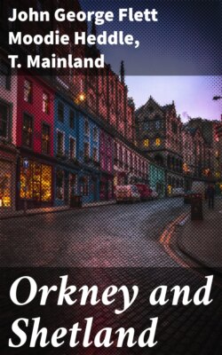
The Home Fleet in Scapa Flow
The whole archipelago includes some 67 islands, besides a score or more of islets, but only 30 are inhabited, and four or five of these are occupied solely by lighthouse attendants and their families. Small uninhabited islands, many of which are used as pasturage, are known as “holms.” The largest uninhabited island is the Calf of Eday, of 590 acres, but some 10 of the inhabited islands are of less area than this.