Читать книгу Fieldwork Ready - Sara E. Vero - Страница 19
Survey
ОглавлениеIn field surveys, the researcher collects data from across an area with a view to defining spatial characteristics or patterns (Figs. 2.6 and 2.7). Surveys may be repeated to determine trends over time. Depending on the size and nature of the study area, surveying can be time‐hungry and physically challenging. Frequently (although not always), survey data can be expressed using maps, which is engaging for the audience or reader if done well.
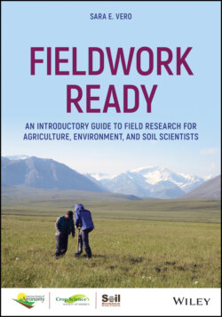
Fig. 2.6 Researchers embarking on a survey in the mountains.
Source: Jaclyn Fiola.
Fig. 2.7 Soil surveys are just one form of field work used to develop and validate soil maps.
Source: Sara Vero.
Survey types in environmental science include:
Soil mapping
River chemistry snapshots
Groundwater well dipping (for determining watertable depth)
Species characterization (plant or animal)
Topographic mapping
Geological survey
Although it is not strictly a biophysical method, surveys of farm management such as fertilizer rates, timing of cultivation, and stocking rates have an important role in agricultural and environmental research. These factors may influence your observations and are crucial to interpretation of results. Recording farm practices requires the involvement of the farmer or farmers on whose land the research is conducted or who live within a study catchment or watershed. For catchment‐scale studies (in agricultural landscapes), it is desirable to have a representative proportion of farmers participating in record‐keeping. These records can be demanding, both for the researcher and the participants so it is helpful to be clear at the initiation of the study what each party is expected to record and how they are to do it. Hard‐copy or online diaries help the farmer to keep track of their activities, particularly those details which you are interested in.