Читать книгу The Isle of Skye - Terry Marsh - Страница 19
На сайте Литреса книга снята с продажи.
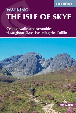
ОглавлениеWALK 1.8
Leitir Fura
| Start/Finish | Woodland car park, Kinloch Forest (NG704161) |
| Distance | 7km (4½ miles) |
| Total ascent | 218m (715ft) |
| Map | OS Explorer 412 |
This very agreeable walk visits Kinloch Forest and the site of Leitir Fura (Letterfura), a scattering of lonely homesteads finally vacated in 1782, of which very little remains apart from a few collapsed and overgrown crofts. The place was not one affected by the Highland Clearances, but was abandoned progressively because of the hardships of subsistence living.
During the 18th century, the natural woodland at Leitir Fura was by far the largest on the island, although barely more than 5km (3 miles) in length. Today, Leitir Fura is the most westerly ashwood in the UK, and has some nationally important bryophytes and lichens. In recent times, many non-native species have been removed and the ground opened up to allow natural regeneration to occur.
Throughout the walk, the Sound of Sleat is a constant companion, set against the mainland hills that backdrop Glenelg and the Sandaig Islands, the latter made famous as ‘Camusfearna’ by Gavin Maxwell in A Ring of Bright Water.
The Kinloch Forest car park is at the end of a rough forest road that leaves the A851 about 200m south of the Drum Fearn turning. From it walk up a signed path to join the main forest trail, turn right and follow this as it passes high above Kinloch Lodge Hotel.
After about 1km (½ mile), leave the main track for an ascending path on the left, an old Drovers' Path that ran all the way to Kylerhea, from where cattle would swim across the sound to the mainland to begin their onward journey to Lowland cattle markets.
The path rises steadily through mainly silver birch, with excellent views seaward of Isle Ornsay and across to the mainland. A perfectly sited bench, just as the gradient levels and you leave the trees behind, is a perfect place to rest and appreciate the view.
Approaching Leitir Fura
Ignore the first signed turning to Leitir Fura, and continue until the path clearly divides, with the Drovers’ Path (less distinct) bearing ahead, and a good path descending, right, to the ruins of Leitir Fura. The name is thought to have originated from a large oak tree that stood in the village, the Fura Mor.
This is a beautiful setting, but beauty alone doesn’t put food on the table. Historical records show that people lived here until the latter part of the 18th century, but just a few decades later, all had gone, many to new lives in Nova Scotia, Canada.
Having explored this lonely outpost, descend on a clear path that zigzags down to a lower forest trail. Turn right onto this, and now simply follow it back to the start.
Leitir Fura