Читать книгу Yoho National Park: The Mountains, the Rocks, the Scenery - David M. Baird - Страница 4
На сайте Литреса книга снята с продажи.
DIVIDES
ОглавлениеTable of Contents
Any stream, even the largest river, gradually gets smaller above the tributaries that pour water into it from the sides. Thus, even the largest rivers rise in a multitude of very small streams which make up the bulk of the main river by uniting their waters. If we travel farther and farther up a small stream we will eventually come to where it begins as a tiny trickle of water. Such a place is usually near the top of a hill, for as rain falls on the hill it will naturally flow down the slopes on all sides. Thus the crest of a ridge forms a natural divide between waters that flow down one side and waters that flow down the other. This is why, on the ground or on a map, a line drawn to separate two drainage systems is called ‘a divide’.
A look at a map of the whole of North America will quickly show us that some very large rivers flow into each of the oceans bordering this continent. If we were to follow these rivers to their very headwaters we should find a line separating the drainage to the Pacific Ocean from the drainage to the Atlantic Ocean, and other lines which divide Atlantic drainage from Arctic drainage and Arctic drainage from Pacific drainage. Thus we apply the term ‘continental divide’ to the imaginary line that separates the drainage of a continent.
Ever since man first began to separate territories it has been convenient to divide them on the basis of drainage basins of rivers. Boundaries of countries, provinces or even counties have commonly been defined as the divide between the water flowing to one side and water flowing to another. One such boundary is between the Province of Alberta and the Province of British Columbia. This divide, which runs right up the spine of the Rocky Mountains, separates waters that eventually end up in the rivers to the Pacific Ocean from those that will flow finally into the Atlantic Ocean. It is this same continental divide that forms the eastern boundary of Yoho National Park. This means that at the East Gate or at any other point on the continental divide, a cup of tea spilled half on one side of the line and half on the other would eventually reach different oceans. In fact there is one spot in North America where drainage is split among three oceans, and from this spot—in the icefields where Banff and Jasper National Parks come together—your cup of tea could be spilled into the Arctic Ocean, the Atlantic Ocean, and the Pacific Ocean.
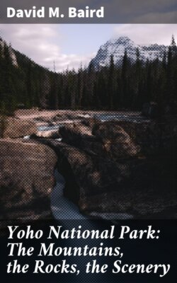
The Seven Sisters Falls is an unusual feature at the east end of Lake O’Hara. Water issues in large quantities from the base of the rubble slope in the upper left corner of the picture and falls over the ready-made cliff in a set of picturesque cascades. Water at the right margin of the picture has worked its way down into cracks and fissures and issues from the solid rock itself.