Читать книгу Patagonia - James Button - Страница 14
На сайте Литреса книга снята с продажи.
General borders of Patagonia
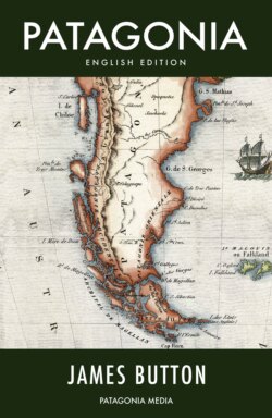
ОглавлениеPatagonia is a territory located in the southern cone of the American Continent, whose human population dates from approximately 14,000 BC, and which begins at 39° southern latitude to the north, on territory belonging to the Republic of Chile, in a region known as Western Patagonia. This sector is defined by the mouth of the Río Calle-Calle that empties into the Pacific Ocean by the city of Valdivia and whose water course can be followed from north-east direction, as far as the Andean Mountain Range and the highest snow-capped mountains.
From its headwaters and via the highest peaks of the cordillera, heading south-east, the Patagonian region spreads into Argentinean territory and becomes known as Eastern Patagonia, where it is in the Province of Neuquén, and its border is commonly accepted to be the Río Negro that empties into the Atlantic Ocean at Carmen de Patagones. At the southern extreme of the American Continent, the Patagonian region is embraced to the east and west by the Atlantic and Pacific Ocean respectively, up to where those oceans meet in the region of the Straits of Magellan and Cape Horn, a territory belonging to the Republic of Chile, although the large island of Tierra del Fuego is currently divided between the Republics of Chile and Argentina.
(1) Quote from Susana Bandieri, ‘Historia de la Patagonia’ (A History of Patagonia), second edition, Editorial Sudamericana, Buenos Aires, 2009. pp. 51
