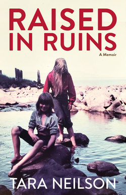
Читать книгу Raised in Ruins - Tara Neilson - Страница 7
На сайте Литреса книга снята с продажи.
ОглавлениеMAP OF UNION BAY
1. Small red cannery cabin
2. Bridge
3. Concrete block in creek
4. Concrete block in creek
5. Trail connecting floathouse side to red cabin
6. New House
7. Japanese garden
8. Path to beach from New House
9. Workshop
10. Cannery retort door
11. Generator shed
12. Duke the alder tree
13. Huge cannery fuel drum
14. Waterline to New House
15. Antenna platform
16. Boardwalk
17. Woodshed
18. Remains of cannery cookshack
19. Sauna
20. Sawdust trail
21. Foundation of a burned building with steps
22. Huge cannery fuel drum
23. Fire tree
24. Gravemarker
25. Dock
26. Wanigan
27. Core shack
28. Sawmill deck
29. Garden
30. Jamie’s fort on a stump
31. Floathouse
32. Generator shed
33. Garden
34. School
35. Swing set
36. Waterline to floathouse
37. Dam
The small circles are cannery pilings. The wavy lines are the creek and stream. The scribbles on the New House side are the rusted and scorched cannery machinery. The X at the mouth of the creek is where the photo for the cover of Raised in Ruins was taken.
